Vienna Living MapGuidesDEEN
🗂 Open data

The data behind the map

74 datasets that the map, the Living Score and Azima compute from — to download, open in QGIS and cite. Every layer says where it comes from, how old it is and under which licence it travels on.

63 layers with download · 71 files · as of November 2026

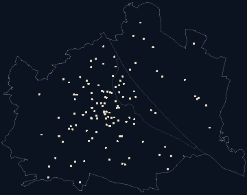
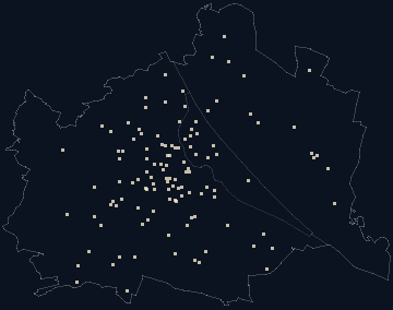
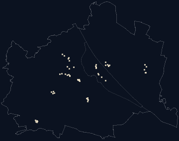
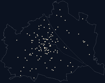
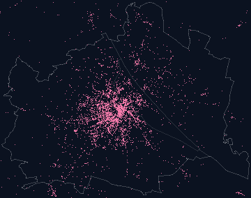
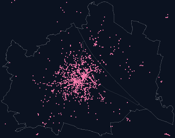
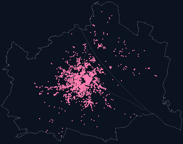
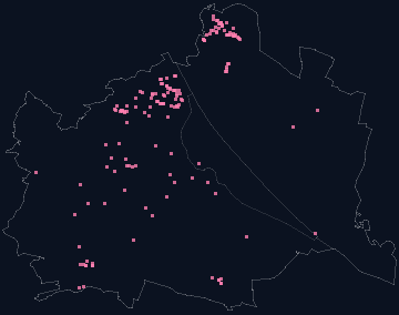
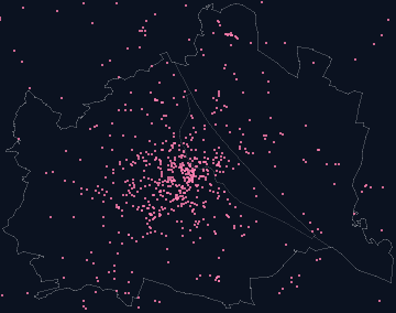
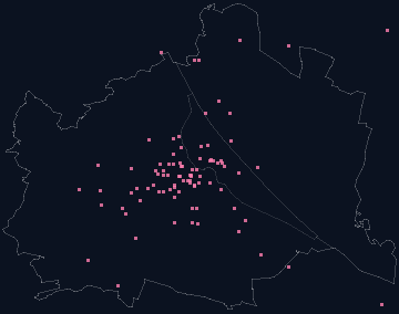
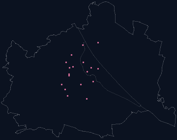
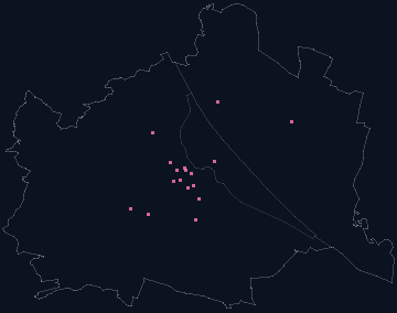
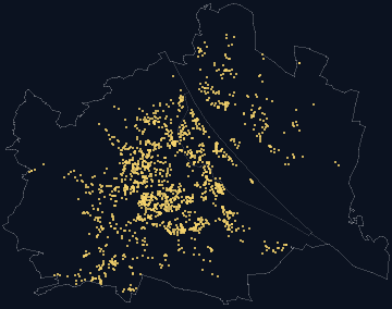
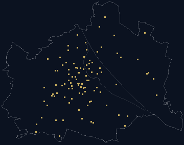
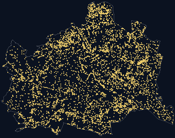
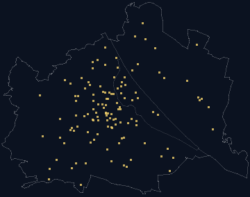
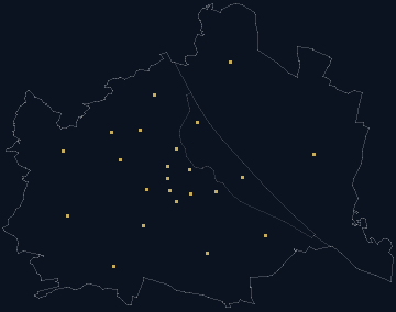
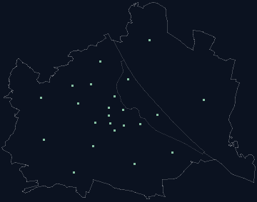
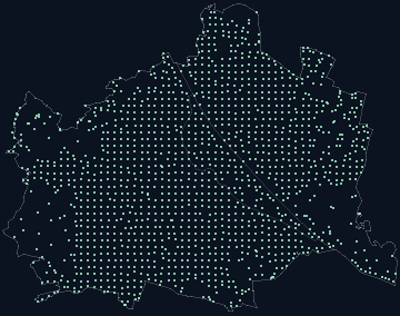
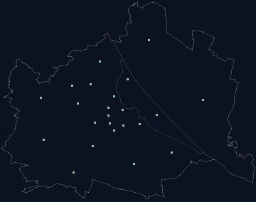
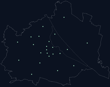
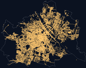
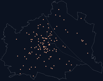
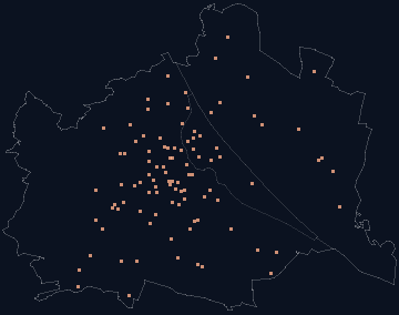
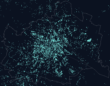
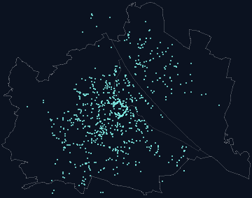
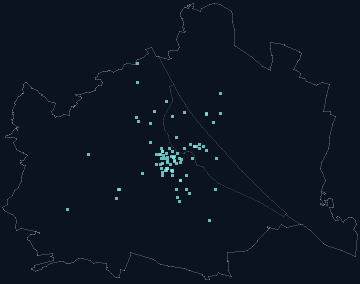
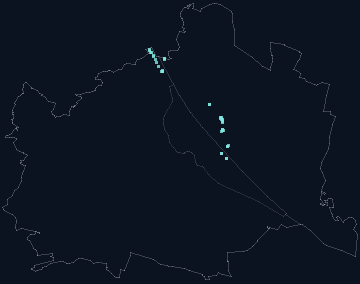
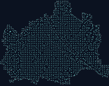
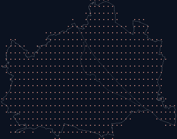
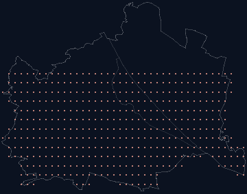
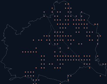
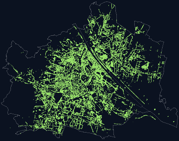
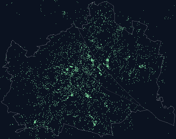
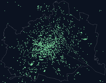
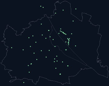
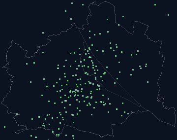
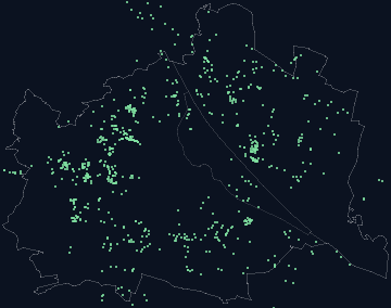
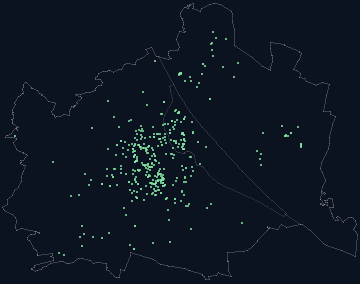
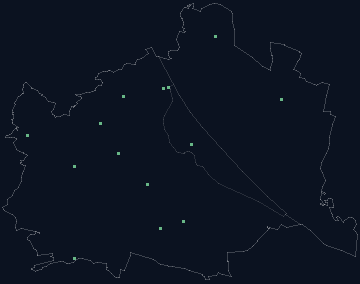
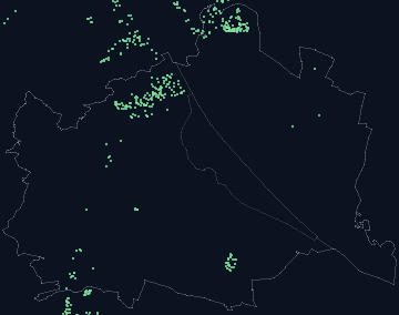
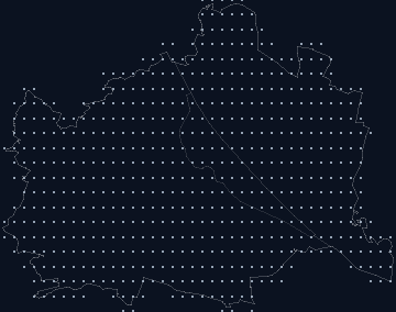
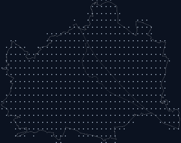
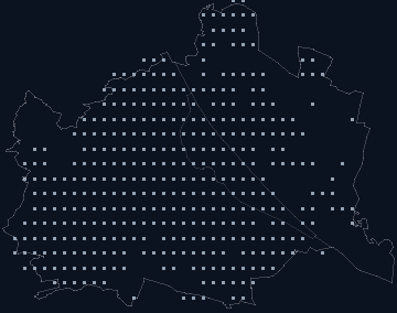
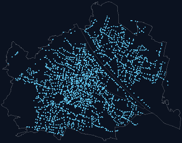
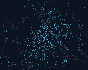
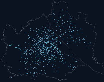
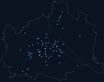
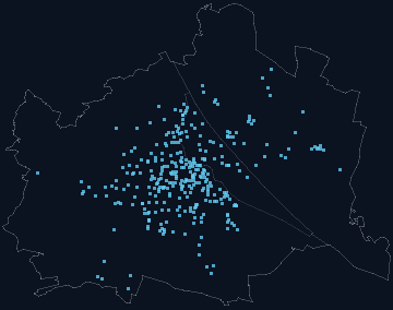
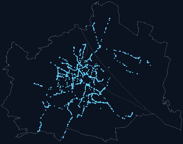
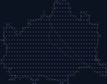
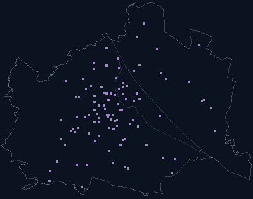
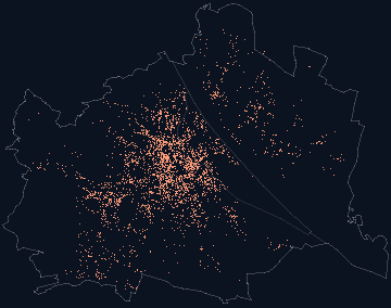
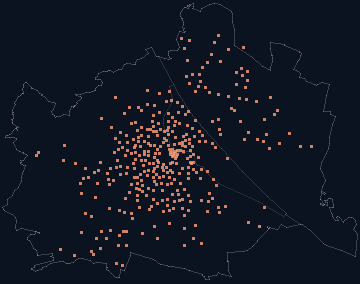
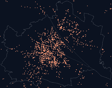
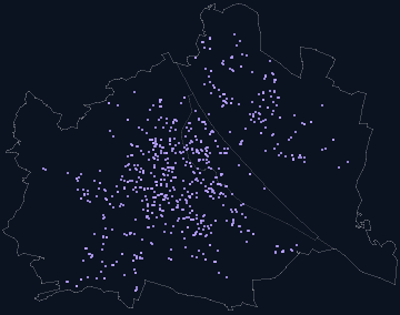
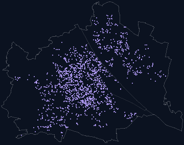
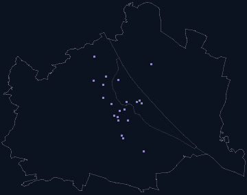
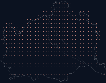
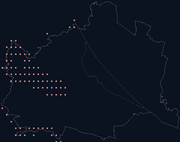
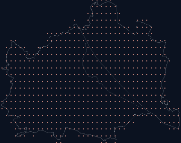
Every card here is the same small Vienna as in the engine graph: the layer’s points at their real position, over the city boundary, the Danube and the Danube Canal. The families and colours are those of the graph, the figures the same as in the app. What lies on the map as a layer can be switched on from here; what is a node in the graph opens there.

Open in QGIS

  1. Download the file — or, in QGIS, under Layer → Add Layer → Add Vector Layer, enter the file’s address as the source; QGIS reads GeoJSON and JSON straight from a URL.
  2. A CSV with the columns lat and lng comes in as a point layer via Delimited Text.
  3. All coordinates are WGS 84 (EPSG:4326); for areas and distances in metres reproject to MGI / Austria GK East (EPSG:31256).
  4. Credit when passing on: the line under “Licence” of the respective layer — anything derived from OpenStreetMap stays ODbL.

Own calculations

What exists nowhere else: evaluations computed on top of the open layers — Living Score, reach, noise by addresses, heat index, transit headway. All CC BY 4.0 with the credit “Vienna Living Map”.

Noise counted by addresses

Per district the share of building addresses in each noise class of the environmental noise map — by addresses, not by area.

Licence
CC BY 4.0 · Vienna Living Map, CC BY 4.0

laerm-adressen.json 6 KBTo the page
Summer heat index

Modelled from built form, green, trees, water and elevation, 0 to 100 per district and Grätzl — not a measured temperature.

Licence
CC BY 4.0 · Vienna Living Map, CC BY 4.0 · contains parts from OpenStreetMap (ODbL)

heat.json 2 KBTo the page
Place knowledge per Grätzl and district

Living Score, atmosphere fingerprint, essence and postcode per place — the file behind search and place sheet.

Licence
CC BY 4.0 · Vienna Living Map, CC BY 4.0 · contains parts from OpenStreetMap (ODbL)

places.json 88 KBTo the page
Dataset per building address for agents

About 287,000 addresses in tiles by postcode and first letter — a query fetches the tile, never the address. Legend and rules in the index file.

Licence
CC BY 4.0 · Vienna Living Map, CC BY 4.0 · contains parts from OpenStreetMap (ODbL)

index.json 12 KBTo the page
Your own address list with these figures: the table tool →

Language & knowledge 4 layers

Small Vienna: 930 points of the layer Place stories at their position, with city boundary and Danube

Place stories

eight perspectives per Grätzl, six per district, computed once

Size
930 · per Grätzl or district
As of
2026-06-23
Origin
own calculation
Licence
CC BY 4.0 · Vienna Living Map, CC BY 4.0

JSON 380 KBIn the graph

Small Vienna: 119 points of the layer Magazine reports at their position, with city boundary and Danube

Magazine reports

one long living report per Grätzl and district

Size
119 · per Grätzl or district
As of
2026-11-05
Origin
own calculation
Licence
CC BY 4.0 · Vienna Living Map, CC BY 4.0

JSON 285 KBIn the graph

Small Vienna: 54 points of the layer Neighbourhood walks at their position, with city boundary and Danube

Neighbourhood walks

own walks through a neighbourhood’s everyday life, one point per stop

Size
11 · every entry at its position
As of
2026-07-23
Origin
own calculation
Licence
CC BY 4.0 · Vienna Living Map, CC BY 4.0

GeoJSON 62 KBOn the mapIn the graph

Small Vienna: 122 points of the layer Place knowledge at their position, with city boundary and Danube

Place knowledge

fingerprint, essence and postcode per place

Size
122 places · per Grätzl or district
As of
2026-11-05
Origin
own calculation
Licence
CC BY 4.0 · Vienna Living Map, CC BY 4.0 · contains parts from OpenStreetMap (ODbL)

JSON 88 KBIn the graph

Images 3 layers

3D images of the city

from the own map, rendered at build time

Size
33 · count, no position
As of
2026-09-30
Origin
own calculation
Licence
CC BY 4.0 · Vienna Living Map, CC BY 4.0

In the graph

No separate download — the layer lives in the app and in the graph.

Preview image per page
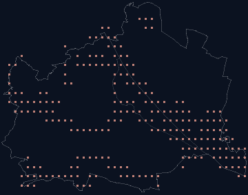
drawn at build time, per page and language
Size
170 · count, no position
As of
2026-11-05
Origin
own calculation
Licence
CC BY 4.0 · Vienna Living Map, CC BY 4.0

In the graph

No separate download — the layer lives in the app and in the graph.

Film covers

one cover per short film

Size
23 · count, no position
As of
2026-10-27
Origin
own calculation
Licence
CC BY 4.0 · Vienna Living Map, CC BY 4.0

In the graph

No separate download — the layer lives in the app and in the graph.

VLM itself 1 layer

Film views

all channels together (TikTok, YouTube, Instagram), the curve per day — via Zernio, transferred by hand

Size
160,992 · time series
As of
2026-10-27
Origin
own calculation
Licence
CC BY 4.0 · Vienna Living Map, CC BY 4.0

JSON 62 KBIn the graph

Culture & food 8 layers

Small Vienna: 18 points of the layer Markets at their position, with city boundary and Danube

Markets

Permanent markets, curated

Size
18 · every entry at its position
As of
2026-06-23
Origin
official
Licence
Terms of the source · Permanent markets, curated

In the graph

No download: the source does not release the data under an open licence. Azima queries the layer per address.

Small Vienna: 17 points of the layer Christmas markets at their position, with city boundary and Danube

Christmas markets

City of Vienna Open Data (CC BY 4.0)

Size
17 · every entry at its position
As of
2026-10-20
Origin
official
Licence
CC BY 4.0 · City of Vienna Open Data, CC BY 4.0

JSON 13 KBOn the mapIn the graph

Housing 5 layers

Small Vienna: 99 points of the layer Neighbourhoods at their position, with city boundary and Danube

Neighbourhoods

99 curated neighbourhoods

Size
99 · every entry at its position
As of
2026-11-01
Origin
own calculation
Licence
CC BY 4.0 · Vienna Living Map, CC BY 4.0 · contains parts from OpenStreetMap (ODbL)

JSON 19 KBOn the mapIn the graph

Small Vienna: 4,774 points of the layer Actual land use at their position, with city boundary and Danube

Actual land use

City of Vienna Open Data (CC BY 4.0)

Size
4,774 · every entry at its position
As of
2026-09-01
Origin
official
Licence
CC BY 4.0 · City of Vienna Open Data, CC BY 4.0

GeoJSON 2.9 MBIn the graph

Small Vienna: 122 points of the layer Building periods at their position, with city boundary and Danube

Building periods

City of Vienna building typology, per Grätzl and district (CC BY 4.0)

Size
122 places · per Grätzl or district
As of
2026-10-21
Origin
official
Licence
CC BY 4.0 · City of Vienna building typology, per Grätzl and district, CC BY 4.0

JSON 12 KBIn the graph

Small Vienna: 23 points of the layer Flat prices at their position, with city boundary and Danube

Flat prices

Statistics Austria, per district 2015–2025

Size
23 districts · per Grätzl or district
As of
2026-10-14
Origin
official
Licence
Terms of the source · Statistics Austria, per district 2015–2025

In the graph

No download: the source does not release the data under an open licence. Azima queries the layer per address.

Roofs 4 layers

Small Vienna: 23 points of the layer Roofs checked for green roofs at their position, with city boundary and Danube

Roofs checked for green roofs

City of Vienna LOD2 roof model, summarised per district

Size
195,172 · per Grätzl or district
As of
2016–2017
Origin
own calculation
Licence
CC BY 4.0 · Vienna Living Map, CC BY 4.0

JSON 16 KBIn the graph

Small Vienna: 1,459 points of the layer Buildings in the roof model at their position, with city boundary and Danube

Buildings in the roof model

City of Vienna generalised roof model LOD2.1 (CC BY 4.0)

Size
195,218 · per official tile
As of
2026-10-17
Origin
official
Licence
CC BY 4.0 · City of Vienna generalised roof model LOD2.1, CC BY 4.0

1,460 tilesIn the graph

Small Vienna: 23 points of the layer Houses with room on top at their position, with city boundary and Danube

Houses with room on top

roof model + zoning: where a storey would fit

Size
36,399 · per Grätzl or district
As of
2026-10-17
Origin
own calculation
Licence
CC BY 4.0 · Vienna Living Map, CC BY 4.0

JSON 8 KBIn the graph

Small Vienna: 23 points of the layer Sun on the new storey at their position, with city boundary and Danube

Sun on the new storey

horizon from the neighbours’ eaves, per house

Size
28,264 houses · per Grätzl or district
As of
2026-10-17
Origin
own calculation
Licence
CC BY 4.0 · Vienna Living Map, CC BY 4.0

JSON 13 KBIn the graph

City light 1 layer

Small Vienna: 172,296 points of the layer Public street lights at their position, with city boundary and Danube

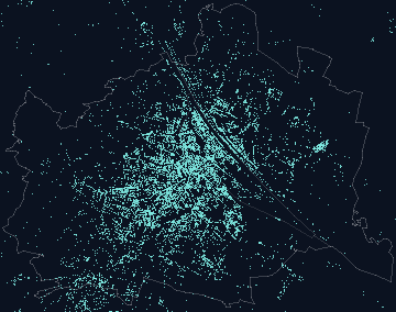
Public street lights

City of Vienna Open Data (CC BY 4.0)

Size
172,296 · every entry at its position
As of
2026-07-10
Origin
official
Licence
CC BY 4.0 · City of Vienna Open Data, CC BY 4.0

JSON 0.9 MBIn the graph

Heat & climate 3 layers

Small Vienna: 122 points of the layer Summer heat index at their position, with city boundary and Danube

Summer heat index

modelled from built form, green, trees, water, elevation — not a measured °C value

Size
122 places · per Grätzl or district
As of
2026-11-05
Origin
own calculation
Licence
CC BY 4.0 · Vienna Living Map, CC BY 4.0 · contains parts from OpenStreetMap (ODbL)

JSON 2 KBIn the graph

Small Vienna: 99 points of the layer Sun windows at their position, with city boundary and Danube

Sun windows

built form, slope and view per Grätzl

Size
99 Grätzl · per Grätzl or district
As of
2026-11-05
Origin
own calculation
Licence
CC BY 4.0 · Vienna Living Map, CC BY 4.0 · contains parts from OpenStreetMap (ODbL)

JSON 16 KBIn the graph

Climate years Hohe Warte 2020–2025

GeoSphere Austria, mean yearly temperature (CC BY 4.0)

Size
6 · time series
As of
2026-11-01
Origin
official
Licence
CC BY 4.0 · GeoSphere Austria, mean yearly temperature, CC BY 4.0

JSON 6 KBIn the graph

3D street world 9 layers

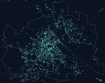
Small Vienna: 21,978 points of the layer Benches at their position, with city boundary and Danube

Benches

OpenStreetMap contributors (ODbL)

Size
21,978 · every entry at its position
As of
2026-09-10
Origin
OpenStreetMap
Licence
ODbL 1.0 · © OpenStreetMap contributors, ODbL

GeoJSON 2 MBIn the graph

Small Vienna: 13,098 points of the layer Litter bins at their position, with city boundary and Danube

Litter bins

OpenStreetMap contributors (ODbL)

Size
13,098 · every entry at its position
As of
2026-09-18
Origin
OpenStreetMap
Licence
ODbL 1.0 · © OpenStreetMap contributors, ODbL

GeoJSON 1.2 MBIn the graph

Small Vienna: 10,173 points of the layer Zebra crossings at their position, with city boundary and Danube

Zebra crossings

OpenStreetMap contributors (ODbL)

Size
10,173 · every entry at its position
As of
2026-11-01
Origin
OpenStreetMap
Licence
ODbL 1.0 · © OpenStreetMap contributors, ODbL

GeoJSON 1 MBIn the graph

Small Vienna: 8,290 points of the layer Bike racks at their position, with city boundary and Danube

Bike racks

OpenStreetMap contributors (ODbL)

Size
8,290 · every entry at its position
As of
2026-09-10
Origin
OpenStreetMap
Licence
ODbL 1.0 · © OpenStreetMap contributors, ODbL

GeoJSON 783 KBIn the graph

Small Vienna: 2,879 points of the layer Bollards at their position, with city boundary and Danube

Bollards

OpenStreetMap contributors (ODbL)

Size
2,879 · every entry at its position
As of
2026-09-10
Origin
OpenStreetMap
Licence
ODbL 1.0 · © OpenStreetMap contributors, ODbL

GeoJSON 272 KBIn the graph

Small Vienna: 872 points of the layer Advertising columns at their position, with city boundary and Danube

Advertising columns

OpenStreetMap contributors (ODbL)

Size
872 · every entry at its position
As of
2026-09-18
Origin
OpenStreetMap
Licence
ODbL 1.0 · © OpenStreetMap contributors, ODbL

GeoJSON 82 KBIn the graph

Small Vienna: 85 points of the layer 3D landmarks at their position, with city boundary and Danube

3D landmarks

City of Vienna LOD2 roof model + own models

Size
85 · every entry at its position
As of
2026-11-01
Origin
own calculation
Licence
CC BY 4.0 · Vienna Living Map, CC BY 4.0

JSON 6 KBIn the graph

Small Vienna: 40 points of the layer Boats in marinas at their position, with city boundary and Danube

Boats in marinas

OpenStreetMap contributors (ODbL)

Size
40 · every entry at its position
As of
2026-07-10
Origin
OpenStreetMap
Licence
ODbL 1.0 · © OpenStreetMap contributors, ODbL

JSON 1 KBIn the graph

Small Vienna: 1,815 points of the layer Street surfaces at their position, with city boundary and Danube

Street surfaces

City of Vienna street surfaces and cycle paths (SISBELAGOGD, RADWEGEOGD, CC BY 4.0)

Size
910,115 area pieces · per official tile
As of
2026-09-10
Origin
official
Licence
CC BY 4.0 · City of Vienna street surfaces and cycle paths (SISBELAGOGD, RADWEGEOGD, CC BY 4.0), CC BY 4.0

1,816 tilesIn the graph

Terrain & hazards 8 layers

Small Vienna: 592 points of the layer Terrain model at their position, with city boundary and Danube

Terrain model

geoland.at DTM 10 m (CC BY 4.0)

Size
592 tiles · per official tile
As of
2018
Origin
official
Licence
CC BY 4.0 · geoland.at DTM 10 m, CC BY 4.0

593 tilesIn the graph

Small Vienna: 224 points of the layer Flood zones HQ30–HQ300 at their position, with city boundary and Danube

Flood zones HQ30–HQ300

BMLUK flood directive 2026 (CC BY 4.0)

Size
1,610 area pieces · per official tile
As of
2026
Origin
official
Licence
CC BY 4.0 · BMLUK flood directive 2026, CC BY 4.0

225 tilesIn the graph

Small Vienna: 584 points of the layer Heavy-rain runoff at their position, with city boundary and Danube

Heavy-rain runoff

BMLUK hazard map (CC BY 4.0)

Size
584 tiles · per official tile
As of
2023
Origin
official
Licence
CC BY 4.0 · BMLUK hazard map, CC BY 4.0

585 tilesIn the graph

Small Vienna: 82 points of the layer Torrent zones at their position, with city boundary and Danube

Torrent zones

WLV hazard zone plan

Size
185 zones · per official tile
As of
2026-08-26
Origin
official
Licence
Terms of the source · WLV hazard zone plan

In the graph

No download: the source does not release the data under an open licence. Azima queries the layer per address.

Small Vienna: 588 points of the layer Seismic hazard at their position, with city boundary and Danube

Seismic hazard

GeoSphere Austria (CC BY 4.0)

Size
23 postcode areas · per official tile
As of
2026-03-27
Origin
official
Licence
CC BY 4.0 · GeoSphere Austria, CC BY 4.0

589 tilesIn the graph

Small Vienna: 588 points of the layer Radon potential at their position, with city boundary and Danube

Radon potential

AGES radon map (CC BY 4.0)

Size
26 municipalities incl. surroundings · per official tile
As of
2020
Origin
official
Licence
CC BY 4.0 · AGES radon map, CC BY 4.0

589 tilesIn the graph

Small Vienna: 439 points of the layer Geology at their position, with city boundary and Danube

Geology

GeoSphere Austria, geology 1:50,000

Size
2,642 area pieces · per official tile
As of
2025-03-11
Origin
official
Licence
Terms of the source · GeoSphere Austria, geology 1:50,000

In the graph

No download: the source does not release the data under an open licence. Azima queries the layer per address.

Small Vienna: 174 points of the layer Contaminated sites at their position, with city boundary and Danube

Contaminated sites

Environment Agency contaminated-sites atlas (CC BY 4.0)

Size
205 sites · per official tile
As of
2026-10-16
Origin
official
Licence
CC BY 4.0 · Environment Agency contaminated-sites atlas, CC BY 4.0

175 tilesIn the graph

Trees 1 layer

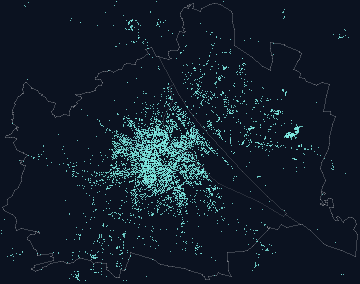
Small Vienna: 232,661 points of the layer Street and park trees at their position, with city boundary and Danube

Street and park trees

City of Vienna tree register (CC BY 4.0)

Size
232,661 · every entry at its position
As of
2026-09-14
Origin
official
Licence
CC BY 4.0 · City of Vienna tree register, CC BY 4.0

JSON 3.5 MBIn the graph

Green & water 8 layers

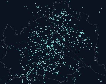
Small Vienna: 740 points of the layer Allotments at their position, with city boundary and Danube

Allotments

City of Vienna Open Data (CC BY 4.0)

Size
740 · every entry at its position
As of
2026-07-01
Origin
official
Licence
CC BY 4.0 · City of Vienna Open Data, CC BY 4.0

GeoJSON 70 KBIn the graph

Small Vienna: 555 points of the layer Vineyards at their position, with city boundary and Danube

Vineyards

City of Vienna Open Data (CC BY 4.0)

Size
555 · every entry at its position
As of
2026-08-23
Origin
official
Licence
CC BY 4.0 · City of Vienna Open Data, CC BY 4.0

GeoJSON 227 KBIn the graph

Records & law 5 layers

Small Vienna: 596 points of the layer Cadastre parcels at their position, with city boundary and Danube

Cadastre parcels

BEV cadastre without owners, as of 1 Apr 2026

Size
247,925 parcels · per official tile
As of
2026-04-01
Origin
official
Licence
Terms of the source · BEV cadastre without owners, as of 1 Apr 2026

In the graph

No download: the source does not release the data under an open licence. Azima queries the layer per address.

Small Vienna: 588 points of the layer Zoning at their position, with city boundary and Danube

Zoning

City of Vienna Open Data (CC BY 4.0)

Size
53,806 area pieces · per official tile
As of
2026-09-23
Origin
official
Licence
CC BY 4.0 · City of Vienna Open Data, CC BY 4.0

589 tilesIn the graph

Small Vienna: 380 points of the layer Listed monuments at their position, with city boundary and Danube

Listed monuments

Federal Monuments Office, Vienna list 2026

Size
3,355 monuments · per official tile
As of
2026
Origin
official
Licence
Terms of the source · Federal Monuments Office, Vienna list 2026

In the graph

No download: the source does not release the data under an open licence. Azima queries the layer per address.

Small Vienna: 588 points of the layer Energy layers at their position, with city boundary and Danube

Energy layers

City of Vienna Open Data (CC BY 4.0)

Size
8,560 area pieces · per official tile
As of
2026-10-13
Origin
official
Licence
CC BY 4.0 · City of Vienna Open Data, CC BY 4.0

589 tilesIn the graph

Small Vienna: 599 points of the layer Broadband grid at their position, with city boundary and Danube

Broadband grid

Broadband atlas RTR (data.gv.at)

Size
42,305 grid cells · per official tile
As of
2026-Q1
Origin
official
Licence
Terms of the source · Broadband atlas RTR (data.gv.at)

In the graph

No download: the source does not release the data under an open licence. Azima queries the layer per address.

Mobility 6 layers

Small Vienna: 70 points of the layer Long-running roadworks at their position, with city boundary and Danube

Long-running roadworks

City of Vienna Open Data (CC BY 4.0)

Size
70 · every entry at its position
As of
2026-11-02
Origin
official
Licence
CC BY 4.0 · City of Vienna Open Data, CC BY 4.0

JSON 13 KBIn the graph

Small Vienna: 2,058 points of the layer Tram tracks at their position, with city boundary and Danube

Tram tracks

OpenStreetMap contributors (ODbL)

Size
2,058 · every entry at its position
As of
2026-10-31
Origin
OpenStreetMap
Licence
ODbL 1.0 · © OpenStreetMap contributors, ODbL

GeoJSON 0.9 MBIn the graph

Noise 2 layers

Small Vienna: 588 points of the layer Environmental noise at their position, with city boundary and Danube

Environmental noise

Strategic noise maps 2022 (laerminfo.at)

Size
588 tiles · per official tile
As of
2022
Origin
official
Licence
Terms of the source · Strategic noise maps 2022 (laerminfo.at)

In the graph

No download: the source does not release the data under an open licence. Azima queries the layer per address.

Small Vienna: 99 points of the layer Overflights, counted per place at their position, with city boundary and Danube

Overflights, counted per place

low-flying aircraft over 99 places since 2026-07-25, own measurement — counted per place and summed: one aircraft over three places counts three times

Size
82,486 · per Grätzl or district
As of
2026-11-05
Origin
own calculation
Licence
CC BY 4.0 · Vienna Living Map, CC BY 4.0

JSON 29 KBIn the graph

Everyday needs 3 layers

Education 3 layers

Frequently asked

May I use the data in my own map, article or thesis?

Yes. Layers derived from OpenStreetMap travel on under the ODbL (credit “© OpenStreetMap contributors”, derived databases stay open). Official layers with CC BY 4.0 and the own calculations travel on as CC BY 4.0 with the credit shown under “Licence”. Layers whose source does not grant an open licence have no download here on purpose.

How current is a layer?

Each card says “As of”: the date of the source or of the last run of the generator. The catalogue itself is rebuilt whenever the engine graph is rebuilt; the transit exports are rebuilt with every build of the site.

Which coordinate system do the files use?

WGS 84 (EPSG:4326), longitude before latitude as GeoJSON demands. Point files with lat and lng columns say so in their header.

Is there a WMS or WFS?

No. Everything here is a static file under /data/ — fast, cacheable, no service to run. The City of Vienna offers the official layers as WMS and WFS at data.wien.gv.at; this page lists what is computed on top of them.
Is there a machine-readable list?
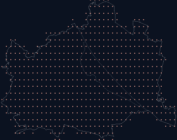
Yes: /data/katalog.json — every layer with files, sizes, licence, date, map layer and graph node, plus the preview image. The same file feeds this page.

The same list machine-readable: /data/katalog.json. Dates per layer on each card; page built November 2026.

The engine as a graph · How VLM works · The whole scope · All topics

How do you want to live?

Describe your everyday — the map turns it into places across Vienna.