Living near Stadtpark
Last updated: September 2026
Stadtpark is in Vienna's 1st district (Innere Stadt). The closest places to live are Stephansplatz, Graben/Kohlmarkt, Landstraßer Hauptstraße.
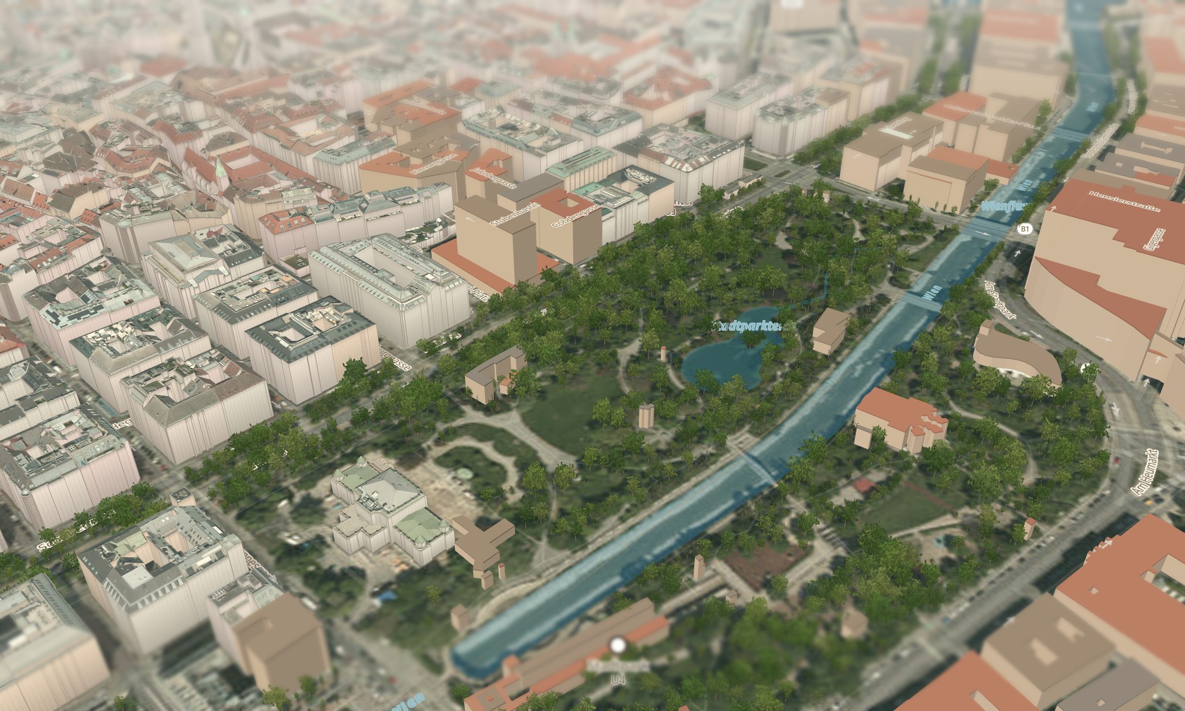 How the cityscape is built. Rendered from our own 3D map — buildings, trees and water from open data. Map data: City of Vienna (CC BY 4.0), © OpenStreetMap contributors.
The closest Grätzl
The district
Open in Vienna Living Map →Frequently asked
Which district is Stadtpark in?
Stadtpark is in Vienna's 1st district (Innere Stadt), Living Score 75/100.
Which neighbourhoods are closest to Stadtpark?
The closest places to live are Stephansplatz (≈ 10 min), Graben/Kohlmarkt (≈ 14 min), Landstraßer Hauptstraße (≈ 18 min).
What is it like to live near Stadtpark?
The Grätzl around Stadtpark reach a Living Score of about 79/100 on average. Innere Stadt is strong on Safety and Air quality. An orientation value from open data (City of Vienna OGD, OpenStreetMap, Wiener Linien, Statistics Austria).
More places nearby
AugartenTürkenschanzparkLainzer TiergartenKahlenbergAlte Donau (Old Danube)